


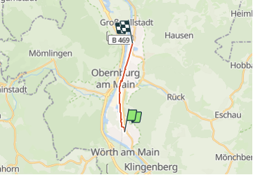

8,2 km | 11 km-effort

Tous les sentiers balisés d’Europe GUIDE+


Kostenlosegpshiking-Anwendung
 SityTrail
IGN / Geografische Institute
SityTrail World
Die Welt öffnet sich für Sie
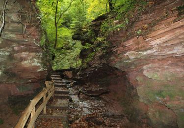
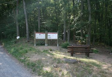
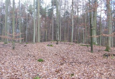
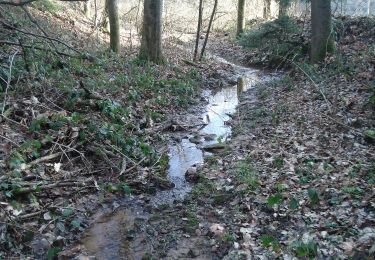
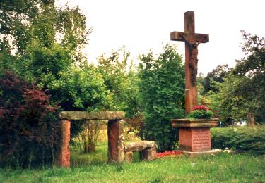
Tour Zu Fuß von 6,8 km verfügbar auf Bayern, Landkreis Miltenberg, Erlenbach am Main. Diese Tour wird von SityTrail - itinéraires balisés pédestres vorgeschlagen.
Website: https://www.stadt-erlenbach.de/Vereine-Freizeit/Untermain-Planetenweg.aspx


Zu Fuß
Zu Fuß
Zu Fuß
Zu Fuß
Zu Fuß
Zu Fuß
Zu Fuß
Zu Fuß
Zu Fuß